
Gefre:Location Belgium EU Europe.png

Grootte van deze voorvertoning: 721 × 600 pixels. Andere resoluties: 289 × 240 pixels | 577 × 480 pixels | 923 × 768 pixels | 1.231 × 1.024 pixels | 2.056 × 1.710 pixels.
Moro srapu (2.056 × 1.710 pixel, file marki: 176 kB, MIME-type: image/png)

|
Bestand:EU-Belgium.svg is een vectorversie van dit bestand. Indien niet van slechtere kwaliteit dient deze gebruikt te worden in plaats van deze rasterafbeelding.
File:Location Belgium EU Europe.png → File:EU-Belgium.svg
Zie Help:SVG voor meer informatie. |
 |
Infrumasi-box
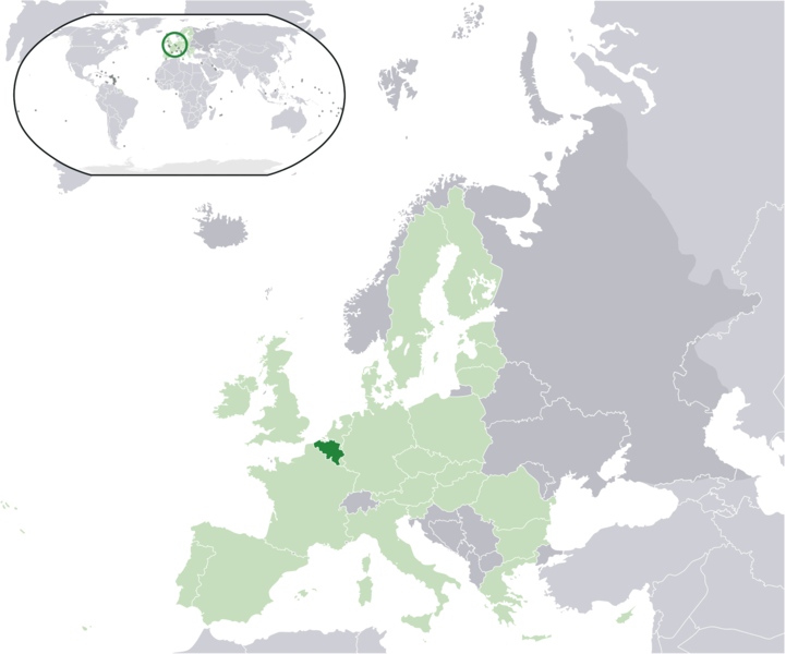
| Infrumasi | Location map: Belgium (dark green) / European Union (light green) / Europe (dark grey); inspired by and consistent with general country locator maps by User:Vardion, et al. |
| Datum | |
| Bron | Eigen werk |
| Auteur | Quizimodo |
| Andere versies |
|


Licentie
| Dit werk vrijgegeven in het publieke domein door de auteur, I, Quizimodo. Dit is wereldwijd van toepassing. In sommige landen is dit wettelijk niet mogelijk; in die gevallen geldt: I, Quizimodo staat iedereen toe dit werk voor eender welk doel te gebruiken, zonder enige voorwaarden, tenzij zulke voorwaarden door de wet worden voorgeschreven. |
File historia
Naki na tapu a dei/ten fu a file fu si fa a ben de na a ten dati.
| Dei/ten | Miniatuur | Den marki | Kebroikiman | Boskopu | |
|---|---|---|---|---|---|
| disi | 17 sik 2007 19:20 | | 2.056 × 1.710 (176 kB) | Quizimodo~commonswiki | image (updated) |
| 17 sik 2007 09:35 |  | 2.056 × 1.710 (226 kB) | Quizimodo~commonswiki | image (tweaked) | |
| 17 sik 2007 08:40 |  | 2.056 × 1.710 (226 kB) | Quizimodo~commonswiki | {{Information |Description=Location map: Belgium (dark green) / European Union (light green) / Europe (dark grey); inspired by and consistent with general country locator maps by User:Vardion, et al |Source=self-made |Date=17 June 2007 |Author= [[User:Qui |
File nen miti
A papira disi e kebroike a file disi:
Globaal bestandsgebruik
De volgende andere wiki's gebruiken dit bestand:
- Gebruikt op an.wikipedia.org
- Gebruikt op az.wiktionary.org
- Gebruikt op dz.wikipedia.org
- Gebruikt op eu.wiktionary.org
- Gebruikt op hif.wikipedia.org
- Gebruikt op is.wikipedia.org
- Gebruikt op kn.wikipedia.org
- Gebruikt op krc.wikipedia.org
- Gebruikt op lv.wikipedia.org
- Gebruikt op ms.wikipedia.org
- Gebruikt op pl.wiktionary.org
- Gebruikt op rue.wikipedia.org
- Gebruikt op sah.wikipedia.org
- Gebruikt op su.wikipedia.org
- Gebruikt op tpi.wikipedia.org
- Gebruikt op ug.wikipedia.org